Showing posts with label 2012 Summer Vacation Southern Utah. Show all posts

July 6, 2012

Southern Utah Summer Vacation Roundup (Table of Contents)

We've broken up summer vacation (#1) into a bunch of separate blog posts, each with their own photo gallery...

Part 1 - Cedar Breaks National Monument
Part 2 - Navajo Lake and Cascade Falls
Part 3 - Brian Head Resort and Peak Run
Part 4 - Kanarraville Creek Narrows
Part 5 - Red Canyon
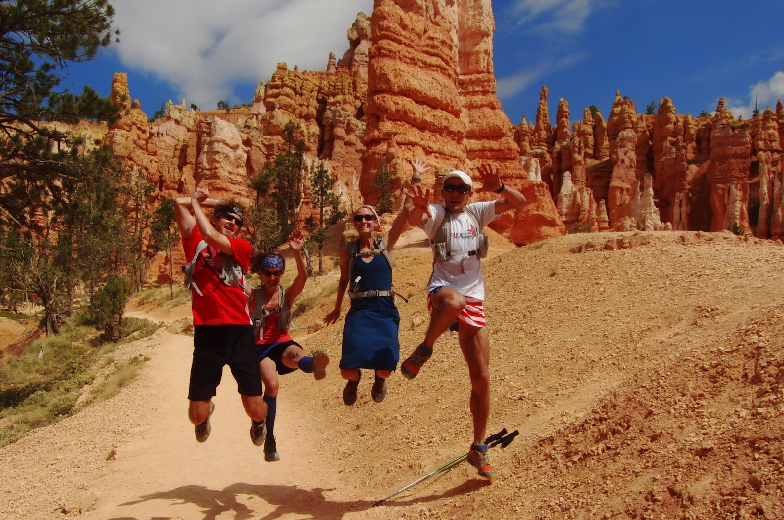
Part 6 - Bryce Canyon (Rim Run)
Part 7 - Bryce Canyon Hiking

We drove down to Brian Head on June 29th, as used the Cedar Breaks Lodge as our "base camp" for the majority of the trip. Even though its primarily known as a ski resort, Brian Head is a great location in the summer due to its high base elevation of 9600 feet (ie. cool weather!). Its also an absolute mecca for running - endless dirt roads, ATV trails, etc. A hidden gem for sure. Don't tell anyone :-)

From Brian Head we hit some cool places nearby - Kanarraville Creek (just south of Cedar City), Cedar Breaks (right next door to Brian Head), and Navajo Lake. On the last two days of the trip we headed east to Red Canyon and Bryce Canyon (spending the night just outside of Bryce).

For me (Jake) this was a typical vacation - 99 miles of running over 5 days w/ 11,000 feet of climbing, all at very high altitude. Nothing beats a good vacation in the mountains!

Check out the links above for pictures from all of the places. We took A LOT of photos!

In the effort to spare you from an overload of potentially unnecessary information, we haven't made the "trip reports" very detailed in terms of maps, GPS tracks, etc. However, if you are interested in any of that stuff, leave a comment or shoot me an email - we have lots more information and recommendations for things to do in this area.

Two of our friends (Amiee and Kevin) joined us for the trip. It was awesome to have an adventurous group to share the fun with!


Bryce Canyon Hiking


Southern Utah Summer Vacation
Part 7 of 7 - Bryce Canyon Hiking
[Table of Contents for the entire trip]

On the last day of our Southern Utah trip (after the morning Rim Trail Run), the four of us went for a great hike in the Bryce Canyon amphitheater. We did a loop that connected the Queen's Garden, Peekaboo, and Navajo / Wall Street trails. I've done variations of this hike twice before (with my parents in 2008, and with Andrea in 2010)... still, it never gets old. In terms of bang for your buck, there aren't many better hikes in the entire national park system.

Since it was July 4th, we broke out our most patriotic outfits...


Patriotic candy!


Elevation profile of the hike
Not an easy one - lots of up and down!
GPS track of the hike
64 oz of Diet Dew for the drive home!

Bryce Canyon (Rim Run)

Andrea running the rim trail in Bryce Canyon National Park

Southern Utah Summer Vacation
Part 6 of 7 - Bryce Canyon (Rim Run)

The rim trail at Bryce Canyon National Park is probably one of the most spectacular stretches in the entire world. Like all national parks, the trail is close to the parking areas and therefore gets a bit crowded.... later in the day. If you aren't a lazy bones jones and wake up at a reasonable hour, you pretty much have the whole thing to yourself.

On July 4th, Andrea and I started at Sunrise Point a little after daybreak and ran to Bryce Point along the rim of the park (then back). Its a challenging run (lots of steep ups and down) but the views are worth every step. We went very slow, partly because we were tired from the previous four days, but also because the views are SPECTACULAR and you want to stop and check them out every few seconds. 

During the entire run I just kept thinking "wow, this is really where I am running right now, this is real." It almost looks too good to be real... check out these photos and try and tell us you don't want to get our and go for a run right now...

Andrea took this photo of me - one of my favorite photos ever. It doesn't get much better than this!


Its not often that I want to stop during a run, but on this route, you have to stop and soak it in.
Taking in the views from Bryce Point
Smoke from the fires to the east


Can you spot me? (Hint - on the ridge to the left, in ViziPRO orange as always)


The entire rim trail is 5.5 miles (one way) from Fairyland Point to Bryce Point. We started in the middle (Sunrise Point) and ran out to Bryce Point and back. I then continued on to Fairyland Point and ran back to our hotel from there on the XC ski trails.

Here's a few shots of what the trail near Fairyland Point looks like (taken the day before)...


Red Canyon


Southern Utah Summer Vacation
Part 5 of 7 - Red Canyon

When you are driving on UT-12 towards Bryce Canyon, the first views of the red rocks and hoodoos that you see are actually part of an area called Red Canyon. Most people just blow through this area on their way to Bryce, but its totally worth checking out on its own. We hiked the Arches Trail and a couple of the shorter loops near the visitor's center. Red Canyon has a whole bunch of cool hiking trails, a paved bike path, and easy access to a lot of mountain biking as well.


First stop once we actually got to Bryce was a no-brainer...