Showing posts with label San Juans. Show all posts

September 4, 2013

San Juans Roundup!

The San Juan mountains are probably my favorite range in Colorado. Over Labor Day weekend in 2010, Andrea and I made a four day trip down to that area, climbing six 14,000 foot peaks. We've been itching to head back to Colorado ever since, but we've been busy exploring other areas (Tetons, Sierras, etc). Finally, when deciding what kind of trip would be a great cap to Summer 2013, we decided it was time to head back to Colorado. That ended up being a great decision. Most of the trip was spent in the areas around the towns of Ouray and Silverton, two of the best places you could ever visit!

I drove down to Colorado first, five days ahead of Andrea and the rest of the crew. Here are some of the places I visited on my own...

Andrea arrived on the Friday before Labor Day weekend with our friends Amiee, Allie, and James. We stayed at the Aladdin's Lamp hut, situated at 10,500 feet on Molas Pass. Four more amazing days of hiking and running ensued...
    This slideshow has some "highlights" but I recommend you click on the individual links to see more photos of each area...


    Running in Ouray and Silverton

    Andrea running in the San Juan Mountains

    As you might expect, I did quite a bit of running in addition to all of the hiking on the San Juans trip that I've been documenting over the past week. I'm always looking for great places to run when I'm on vacation, so I'll share a few of the spots I enjoyed in Ouray and Silverton. Needless to say, there are endless trails and jeep roads that go HIGH into the mountains in this area (Hardrock!). Sometimes you are looking for something a little more mellow, though. Here's what I found...

    Ouray

    -County Road 17 is a dirt road that parallels the west side of the Uncompahgre River. From Ouray to Ridgway, it drops about 700 feet... then you turn around and head back up. I did a fun 20 mile run on this road.
    -The Uncompahgre River Trail is a (relatively) flat 2-mile gravel trail looping around on the north side of Ouray
    -The Ouray Perimeter Trail is tough - lots of up and down, singletrack, etc. But if you do one run in Ouray, this is what you want to do. Waterfalls, box canyons, panoramic mountain views, etc. So much fun.

    Silverton

    -Colorado Trail from Molas Pass. This is a high elevation run (above 11,000 feet) with quite a bit of climbing, but worth every (lung-burning) second. Andrea did a 9 mile run here, her longest in a year and by far her longest since surgery. Awesome in every way!
    -Molas Lake. There is a nice loop of ~1.5 miles around the lake, and you have the option of running a spur of the CO trail up to Molas Pass.
    -All around town... Silverton is pretty much all (but one) dirt roads. Its fun to just run around the town and explore. And since you're at (a minimum of) 9300 feet, you get a great burn no matter how slow you're moving!
    -The Silverton track! How and why does this exist? If anyone knows, please tell me... I am very curious about this. An asphalt track at 9300 feet in a town that only has 10 students at their high school. We were fascinated by this track and ended up going there two night in a row to "play track"... 400m and 1600m time trials for "fun"... what a bunch of dorks we are! :-)

    Molas Lake loop
    Silverton track
    Running marathon pace at 9300 feet feels like 5K pace
    Andrea running a 71 second quarter in sandals just for fun!
    Elevation profile of a 14 miler I did from Molas Pass

    Mt Sneffels


    On the last day of the San Juans trip we headed up to Yankee Boy Basin to climb Mt Sneffels via the SW ridge route. Andrea and I did this climb three years ago, and since Amiee had never been on the summit of a 14,000 foot peak, we thought this would be a fun debut for her.

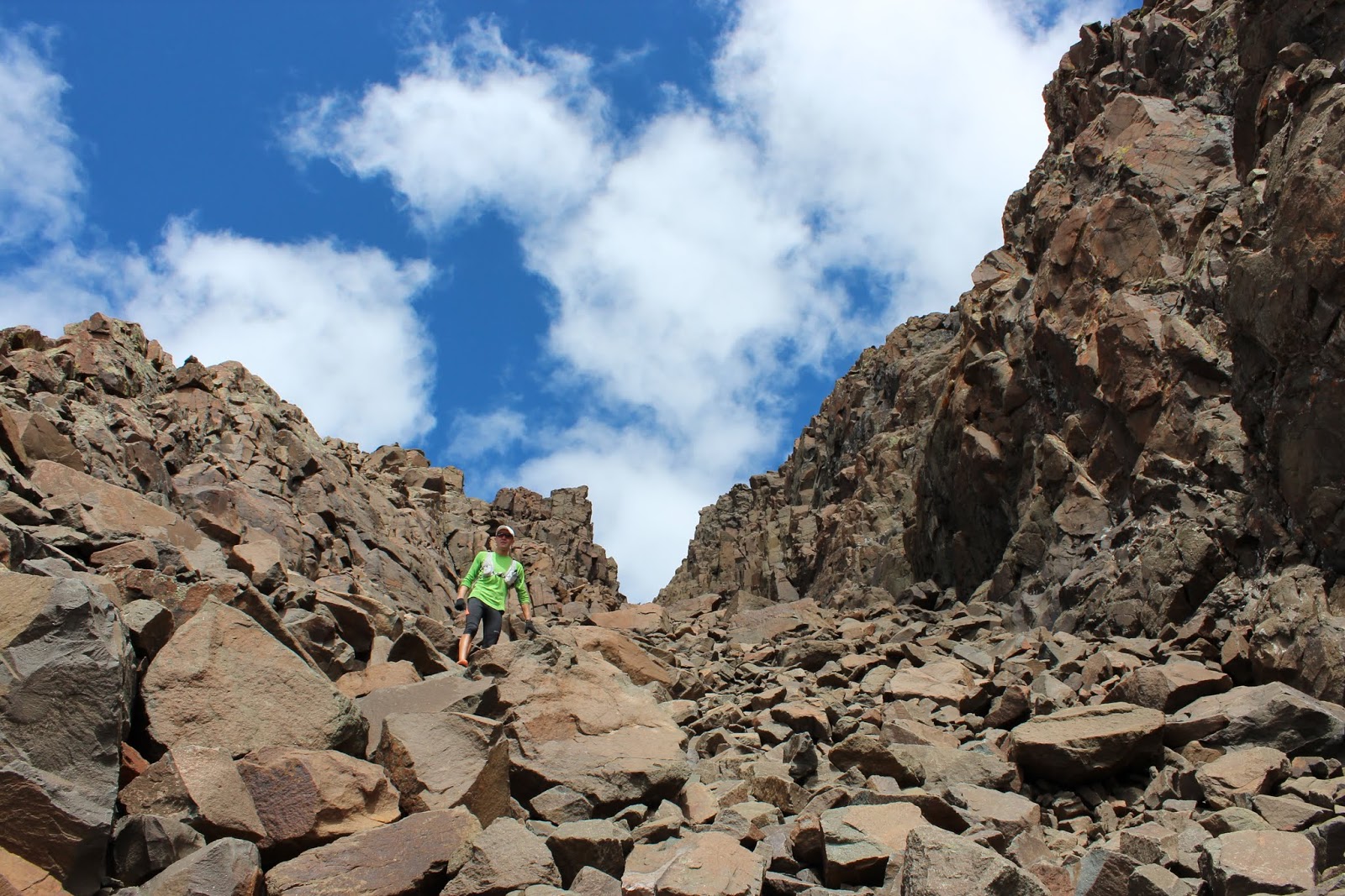
    The SW ridge (from the low point on the left side of the above photo, through the pinnacles to the summit) has some fun scrambling. We took that route for the ascent, and then descended via the standard route (giant scree field on the right). 


    Highland Mary Lakes Loop


    Wow. One of the best hikes we've ever done. Mile for mile, the scenery and views were unparalleled.

    The Highland Mary Lakes loops starts down a dirt road a little east of Silverton. After climbing up through the tundra and past some lakes, you reach a viewpoint above Verde Lakes (above) with spectacular views of the Grenadier Range.

    It was really a special treat to share this one with a great group of friends.

    Photo explosion time!...


    Ice Lakes


    Have you ever seen a lake THIS blue? No, it's not filled with anti-freeze or toiler bowl cleaner... according to 5280 magazine, here is the reason for the color:

    Upper Ice Lake is a glacial tarn—a lake carved and fed by glaciers—that gets its near-fluorescent blue color from rock flour. When a glacier moves, it grinds the bedrock below, creating a crushed-rock powder that suspends in the water and absorbs the sun’s light spectrum in a way that creates a beautiful cerulean appearance. There are only a handful of similarly colored glacial lakes in the state.

    Pretty spectacular. And what made this hike even more special is that after spending the first couple days of the San Juans trip solo, the adventure team reinforcements showed up last night - Andrea and our friends Amiee, Allie, and James. They all drove down from SLC to meet me for a few days of fun in the mountains.

    More photos from Ice Lakes...


    August 29, 2013

    Gray Copper to Corkscrew Gulch from Ironton

    Dirt with so much iron that eating it cures anemia on the spot!
    I wasn't sure where to hike today (but you can't really go wrong anywhere in the San Juans), and wanted to check out the Ironton ghost town, so I figured I could link together a hiking trail and some jeep roads in that area and create a small loop. 

    I parked right off highway 550 and started from there... went up Gray Copper Gulch to the Vernon mine, then connected with the jeeps roads that wrap around the backside of Red Mountain #1, and back down Corkscrew Gulch. According to the GPS, it was 9 miles, but that's probably an overestimation. Total elevation gain was probably a little under 3000 feet. 

    A pretty nice loop and other than a few jeepers, I didn't see a single person out there.

    Cool RZR
    I didn't eat this
    Gray Copper Gulch

    Cement Creek basin and the road heading towards Hurricane Pass
    Silverton Mountain Ski Area

    Corkscrew Gulch and the other Red Mountains
    The approximate route with help from our friends at Microsoft Paint