June 21, 2010

Thunder Mountains Traverse


On the summit of South Thunder Mountain

Date: June 20, 2010
Distance: ~13-14 miles
Vertical: ~7000 feet gained
Time: ~11 hours
Peaks: South Thunder Mountain (11,154 feet), North Thunder Mountain (11,150 feet)
Route: Bells Canyon to upper reservoir to Bells-Cleaver saddle, north ridge to S.Thunder summit, Thunder Bowl (Class 4) ridge to N.Thunder summit, glissade descent of west couloir to Thunder Bowl basin, re-climb to Bells-Cleaver saddle, follow Bells Canyon back out
Crew: Jake, Andrea, Bradley

This was our first big Wasatch excursion and it was an instant classic. The Thunder Mountains are seen from all over Salt Lake City, but rarely climbed due to the fact that its simply a long, hard day to get them both. Andrea and I were lucky enough to hike and climb with Bradley, a Wasatch Mountain Club veteran. He taught us a lot about route-finding and climbing the classic routes in this area.

We started at the Bells Canyon trailhead just after 6am. It took about 3 hours to hike the 5+ miles up to the upper reservoir. That's when the fun started. We had some mixed scrambling and snow traversing until we reached the Bells-Cleaver saddle, then followed the ridge up to the South Thunder summit. The ridge was a combination of climbing on consolidated snow and class 3 scrambling with awesome exposure and unbelievable 360 degree views. It only got better from there... after reaching the summit of South Thunder, we backtracked a little bit until we hit the connecting ridge to North Thunder. This was a super fun mile-long ridge that included a handful of class 4 moves. Andrea handled her first long ridge traverse and class 4 climbing like an absolute champion (this was the longest ridge "run" I had ever done as well). From North Thunder, we found a nice couloir to glissade, then climbed back up to the saddle, and hiked down the 5-6 mile "beatout" to the car. Towards the bottom, we got held up for a while as paramedics were hauling out a guy who had taken a fall at some waterfalls and broken his legs (story). Tough week for the Bells Canyon trail, as earlier in the week a guy was stabbed on this trail!

I've had some amazing days in the mountains over the past couple years, but this one immediately goes on the short list of the best. It was a challenging but very fun route, one that is seldom traveled and peaks that are rarely climbed because of the commitment required to reach them. The weather and conditions were perfect; not a cloud in the sky, and the snow was perfectly consolidated (very limited post-holing). Bradley was an excellent guide - he set a nice pace and taught us a lot about the area. And finally and most importantly, it was just awesome to complete a route like that with Andrea. Major kudos to you for this one babe! You killed it! And actually, the best part might have been that we were in such a calorie deficit by the end of the day that we got to have ice cream, mac & cheese, and then ice cream again when we got home!


The area of interest relative to SLC


Our approximate route


Crossing the stream in Bells Canyon


Teamwork = dry feet!


Reaching the Bells-Cleaver saddle with Lone Peak behind


Attack stance?


Another great view of Lone Peak


Starting the hike up the ridge to South Thunder


Andrea and Bradley making their way up


Andrea working her way across the ridge


Every move resulted in more and more views like this


HIGH above SLC


On the big boulders just below South Thunder's summit


Panoramic shot from South Thunder, with some important peaks labeled


About 1/3 of the way into the traverse, with some of the route and the crux wall labeled


Andrea working across the snow below the ridgeline. We downclimbed a bit to bypass a class 5 section of the ridge.


Bradley kicking steps back up to the ridge


Climbing a super-fun little pitch about halfway across the traverse


Andrea and I working the ridge


Andrea working her way across


Thunder Bowl from above


Bradley and I starting the 4th class crux wall


Helping Andrea on the first move of the crux wall


Working the last move of the crux wall


Andrea pulling herself up over the final move on the crux wall... some serious exposure here!


On the ridge, nearing the summit


Andrea on the North Thunder summit


A look back at a lot of the route once we reached the Cleaver saddle (bottom-right)


Andrea looking up Little Cottonwood Canyon towards Alta & Snowbird


North Thunder summit


Glissading on perfect snow down the west couloir


Andrea and I glissading


Glissading is a nice reward and easier on the legs


Our glissade route in yellow and then hike across the basin in red


At the botton of Thunder Bowl


Thunder Bowl from below


Looking back up Bells Canyon a few hours later, almost back at the trailhead

June 19, 2010

Antelope Island


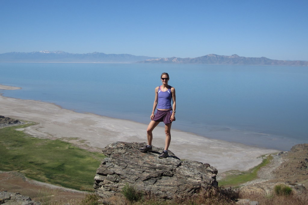
Bob the Bison wondering why were running on such a hot day

This morning Andrea and I headed up to Antelope Island State Park for some trail running. We ran some amazing trails over rolling terrain for an hour and forty minutes. There were several bison really close to the trails... they are HUGE up close! Antelope Island, the largest island on the Great Salt Lake, is really cool, but you don't want to go there in the heat of the summer (ie. right now)... there are just too many bugs. We'll definitely be back in the fall, though... and maybe for the 25K and 50K trail races that are held there.


Panoramic shot from Elephant Head


Andrea running up the trail with the Great Salt Lake behind


At the end of the Elephant Head loop


I learned about Bison horns


And then we went swimming in the Salt Lake:


June 18, 2010

Thayne Peak (8656')

Last night Andrea and I headed back up Millcreek Canyon for a bike & hike, but due to a flat tire and some trail-finding issues, we didn't have time to get up to Mt. Aire, so we ended up going to a trail run on the Pipeline Trail instead. Its a perfectly graded trail that runs above the road up the canyon... great place to run... and it provided the inspiration for my run/hike this morning...


Riding out of our neighborhood with great views of the goals for this Sunday - the Thunder Bowl cirque.


Changing Andrea's flat tire


Running on the Pipeline Trail - great views of Thayne Peak

This morning I decided that I'd run up to the Thayne Peak trailhead and head up the Desolation Trail, running as much as I could of the trail. I ended up taking a wrong turn a few miles past the trailhead and got on a trail that wasn't quite as run-able. Still, I covered the final 3000 feet up to Thayne Peak in about 75 minutes, then ran down the "correct" trail. On the way down I got a little spooked when I was running through a brushy section: A rattlesnake rattled at me! Definitely a scary experience! That's the second rattler I've encountered in the past 3 weeks! And I HATE snakes!

Overall it ended up being a 21 mile loop with 4300 feet of vertical. Casey, Jeff - if you guys are reading this, Godspeed to you both with the freaking Pikes ascent! These runs that climb 3-4K feet are good workouts, but I don't know how I'd handle 7500 feet and starting a few thousand feet higher!

This weekend should be fun... we're heading up to Antelope Island on the Great Salt Lake for some trail running tomorrow, then as previously mentioned, climbing South and North Thunder Mountains on Sunday.

June 15, 2010

Grandeur Peak (8299')


With the Colorado 14ers trip and John Muir Trail closer on the calendar than we realize most of the time, and the front range of the Wasatch only minutes away, Andrea and I are trying to tag some peaks on weekday evenings. Run in the morning, hike in the evenings... great way to keep the aerobic engine charged up, and work those muscles whose job is to take care of the vertical gain.

Grandeur Peak is one of the most notable peaks seen from Salt Lake (you can see it from almost everywhere in the city, including our condo), sitting at western end of the ridge between Parley's Canyon and Millcreek Canyon. From the trailhead at Church Fork, its an easy jaunt of 2340 feet over 3 miles (one-way) to the top. That's a little too easy, so we decided to meet at the free parking below the Millcreek toll station and run up to the trailhead, adding about 1000' and 3 miles of running. Rather than drive up and meet Andrea, I just ran up to our meeting spot, adding another 4 miles and 700'. Now we're talking... 10 miles and 4000 feet to the top.

Andrea and I met just below the toll station at 4:45 and got rolling... ran up to the trailhead, then did a combo of running and hiking up to the summit and back (about 1:45 roundtrip), then ran back down Millcreek canyon to the car. Fun little afternoon... 16 miles and 4000 vert for me, 12 miles and 3300 vert for Andrea. On top of an 11.5 mile run in the morning... that's the kind of volume I'm talking about!


Up near the summit


Andrea and I with the Wildcat Ridge behind us


Wildcat Ridge


Summit panoramic


Salt Lake City 4000' down below


My trail runner girlfriend way ahead of me on the descent


Running back down Millcreek Canyon

June 14, 2010

Grand Opening!

This is my new website for posting trip reports and anything else of interest. The Wasatch Mountains are my new home base, as well as the home of the greatest snow on earth (500-600+ inches/year is the average). Its amazing to have such an incredible mountain range right at your doorstep that is a hub for backcountry skiing, sport & trad climbing, trail running, hiking/backpacking, etc., and it would take a decade to merely explore the mountains and canyons within 30 minutes of Salt Lake City... let alone the rest of Utah. I'll definitely be taking advantage of the opportunities around me, and this blog will chronicle the adventures.

The image on the site banner is the north ridge of Little Cottonwood Canyon. I took that picture from the top of the Snowbird tram in April.

The big trip for summer 2010 is the John Muir Trail. We're also hoping to finish the Colorado 14ers, climb a whole bunch of peaks in the Wasatch, and tag a few of the Tetons (South/Middle... saving the Grand for 2011).

Some panoramic shots

Vail Mountain on closing day (April 18) and the Superstition Mountains on Memorial Day.


Moderate altitude = mileage increase

Living at 4300 feet has advantages and disadvantages compared to living at 8000 feet. The disadvantage of sleeping so "low" will probably be felt when I get back to Colorado to finish climbing the 14,000 foot peaks next month. The big advantage, though, is running at this altitude. I cranked out about 110-115 miles last week, a number that was not uncommon for me when I was living back east, but the kind of volume I never came close to touching while living in Vail. I'm trying to run as many hills as possible in an effort to keep my "climbing" legs, and we'll start climbing some peaks in the Wasatch as soon as possible. The weather was unsettled this weekend, and the Cottonwood Canyons and their high peaks were socked in by thunder/snow storms. So, we've just been running... a lot... exploring the SLC area on foot. I've posted some pics below of running in some more scenic locations a little over a week ago (Garden of the Gods and Kokopelli Trail).

Recent pictures from Arizona over Memorial Day and the last few days in Colorado.


May 28, 2010

May 2010 Recap

May started with powder days at Beaver Creek (which had been closed for a month), and ended with a string of 14er ski descents. In between I lost my job and made plans to move to Salt Lake City, Utah (hence the blog title, Wasatch and Beyond). The Wasatch Range of the Rocky Mountains will be my home base from this point forward.

I spent May 6-9 down in the Great Smoky Mountains of Tennessee with Andrea. We met up with my friends Karilyn and Andy, who are hiking the Appalachian Trail.

From May 20-23 I tagged six 14ers in a 4 day span. [6 Peaks 4 Days trip report] - [More Photos]

On May 27, I climbed and skied Castle Peak with my roommate Ben and his friend Joel. [Castle Peak trip report].


April 1, 2010

April 2010 Recap

Highlights from April included a ski trip to Snowbird, Utah, a visit from my Dad, and a ski descent misadventure from Culebra Peak, the only privately owned 14,000 foot peak in Colorado (Trip Report - Photos).